
Springfield Township Neighbor Records
Different sources answer different block questions. The Auditor and CAGIS establish property context. Recorder documents show parties to an instrument tied to one parcel. The Board of Elections offers individual registration confirmation and precinct or district products, not a street roster. Township planning adds community geography. Historic directories are useful for an earlier address, but they do not establish a present household.
| Source | What It Shows About a Block | Access |
|---|---|---|
| Hamilton County Auditor | Selected parcel, deeded owner, mailing address, transfer data, legal description, and nearby-property result | Free owner, address, parcel, and Advanced search |
| CAGIS Online | Parcel boundaries and map-layer context around an address | Official map viewer; confirm details with Auditor records |
| Recorder Acclaim | Recorded-document parties for a parcel or legal description | Computer index from May 31, 1988; historic route for earlier research |
| Board voter-list products | Lawful precinct or district voter-list and election-history context | County export choices; confidential records excluded |
| Township Master Plan | Named district and civic context | Official plan, not a household-member roster |
| CHPL Criss-Cross directories | Published historic occupants by address sequence | Year-specific library and digital-collection research |
An owner name and tax-bill mailing address are not proof of occupancy. Other household members and utility customers are not produced by a parcel query. Note: Treat each returned name as an owner, recorded party, historic directory entry, or voter-record result only when the source actually says so.
Springfield Township Neighbor Parcels
Start with a selected property in the Hamilton County Auditor search. Its Advanced option documents an unusual nearby-property method: enter the parcel’s Origin Property Key and a number of Feet from Origin. The result is a proximity set of property records. It is not a complete list of neighbors or residents. Use CAGIS as a map check, especially when a side street, park, or other physical feature makes a radial result look closer than it is on the ground.
- Find the target street address in the Auditor and save its parcel number or property key, situs address, legal description, and owner-of-record fields.
- Open the Auditor’s Advanced search and use that Origin Property Key with a documented distance in Feet from Origin.
- Review each returned property record individually. Record the nearby parcel number and the owner field without assuming the owner lives there.
- Open CAGIS to compare the parcel boundaries and official map context.
- For a single parcel’s document trail, use its Auditor number or legal description in the Recorder. For a whole named street, use the Springfield Township Street Directory.
The public parcel layer describes property boundaries and directs users to Auditor search for associated property information. It is map context, not a legal survey and not a household directory.
Neighbors Through Official Property Roles
For an adjacent parcel, the next verifiable step is a property-to-document check. Search the parcel’s Auditor number in Recorder Acclaim, or use the legal-description modes when a street address is ambiguous. A result may show grantor, grantee, document type, recording date, and book/page or document number. Confirm the same legal description before connecting a name to the neighboring parcel.
Official records identify a defined role and date. Commercial neighbor-lookup services are a broad category that may combine old, mismatched, or unexplained data. They should not replace a parcel number, recorder image, official record date, or a direct voluntary contact channel.
| Official record role | Commercial lookup category |
|---|---|
| Names the custodian, record type, parcel or legal description, and date | May combine sources without showing the underlying record or update date |
| Shows owner of record or parties to one documented transaction | May imply a household relationship without proving occupancy |
| Can be checked against the original portal, office, book/page, or image | Requires independent confirmation from the relevant custodian |
Recorder name searching is most useful from 1988 forward. Earlier deeds need the Recorder’s historic grantor/grantee PDFs, book/page research, office access, or the historical FamilySearch collection.
Springfield Township Neighbor Voter Records
Ohio’s state voter lookup requires a first name, last name, and county, so it is an individual registration check rather than an address-only search. Hamilton County’s voter-list page offers Full Export File, By District, and By Precinct options in CSV or PDF. A voter precinct is not the same thing as a block. Use the Board’s CAGIS map instructions to identify a voting district, then consider the lawful precinct-level scope rather than claiming the product lists every voter on a street.
Hamilton County’s voter-list page says it provides registered-voter lists and countywide election history and is updated daily on weekdays before 9 a.m. Its participation codes reflect election participation in their stated scope, not candidate selections or a permanent party registration. Ohio does not have party registration.
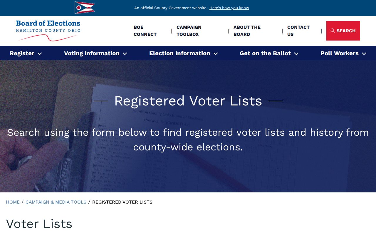
Registration information can add civic geography to a block inquiry, but it does not convert a precinct export into a list of every nearby resident.
For an individual confirmation, use Ohio’s My Voter Information lookup with first name, last name, and Hamilton County. For a county product or an inspection question, the Board of Elections is at 4700 Smith Road, Cincinnati, 513-946-8500, Monday through Friday from 8 a.m. to 4 p.m. R.C. 3503.13 protects specified voter data, and R.C. 3503.26 governs public inspection of precinct registration lists and can limit copying around an election when it would interfere with Board operations.
The Board’s official map directions use CAGIS as the geographic bridge: open Map Layers, select Voting Districts, and then select the district maps. That map step identifies the voting geography attached to an address. It does not show voting choices, reveal a protected record, or turn the address into a household roster. Keep a precinct map, district export, and parcel-boundary result as separate records because each covers a different area.
Twelve Springfield Township Neighborhood Districts
The Township’s Master Plan provides a community layer for neighbors without publishing names, home contacts, or membership lists. The 12 formal districts are Valley, Sevenhills, West College Hill, Hollydale, Lexington Heights, Southwest Hamilton Avenue, Northeast Hamilton Avenue, Northwest Winton Road, Pleasant Run Farms, Northeast Winton Road, Finneytown North, and Finneytown South. They help identify the planning context for a parcel or block.
| Township plan resource | Appropriate use | Not established by the plan |
|---|---|---|
| Neighborhood Master Plan | Identify a district and read its community context | Individual resident membership, an association roster, or home contact details |
| Township map hub | Compare street, neighborhood, ZIP, school-district, and zoning context | A substitute for the parcel record or a legal boundary survey |
| Neighborhood Enhancement Grant information | Find civic-group and association context where an organization chooses to publish it | A public directory of households |
The official district plan is useful for community context and for checking why a record uses a neighborhood rather than the Township name.
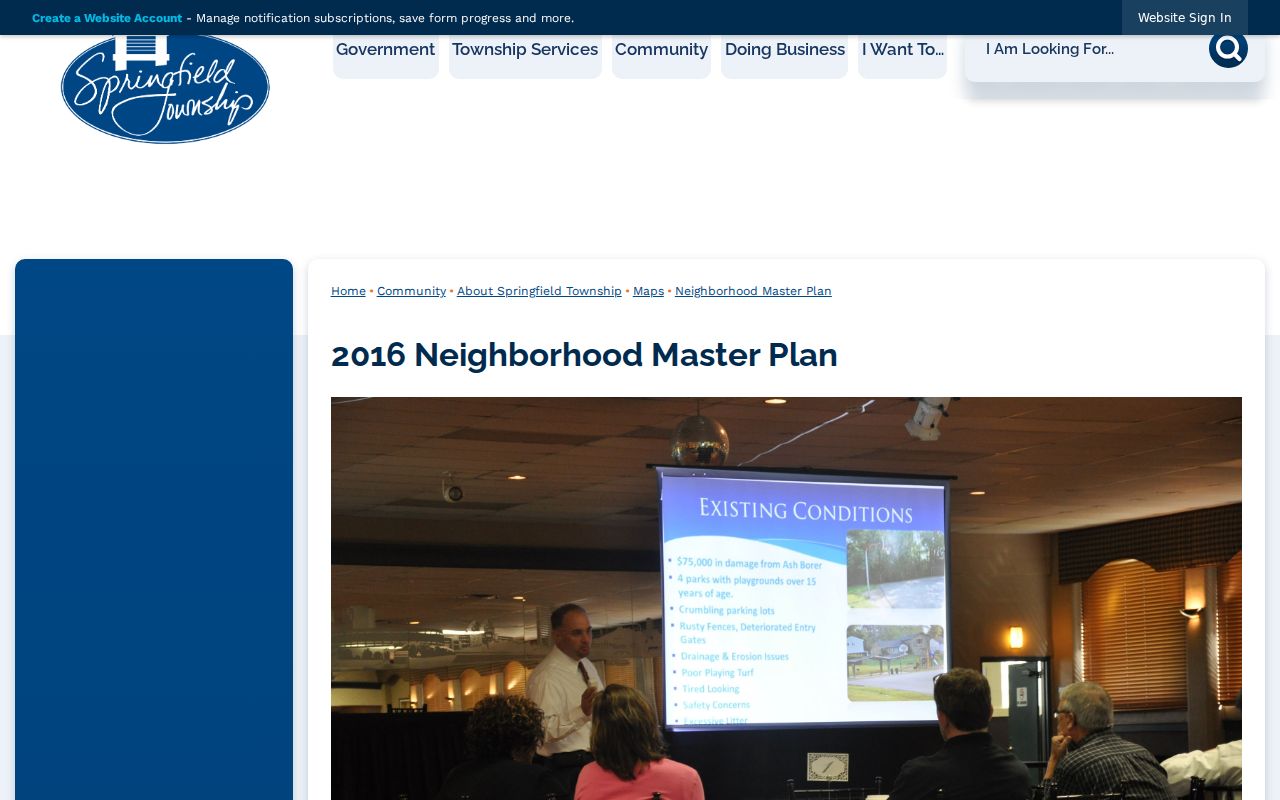
Use a relevant association’s own voluntarily published contact channel for participation questions, not an inference from the district map.
A district, ZIP service area, school district, and voter precinct can all overlap the same street without sharing a boundary. Springfield Township’s map hub is the practical check before treating a neighborhood label or Cincinnati mailing label as a jurisdiction finding.
Springfield Township Historic Neighbors
Historic neighbors require an address-first source. CHPL’s Pink Pages began in 1925 and became Criss-Cross by 1941, which makes them useful for published occupants along an address sequence in a given year. Pair an entry with the correct directory edition, historic locality heading, and an available census or deed record. A directory entry can show who was published at an address then, not who lives nearby now.
When an older street number does not fit the parcel, check Sanborn maps and locality labels before combining records. Cincinnati’s widely documented 1895 renumbering should not be assumed for every Township address, but it is a reason to verify map coverage and old-to-new number relationships. Historical research belongs in the Previous Residents search when the goal is one address through time.
Springfield Township Neighbor Requests
Some address-specific questions go beyond the parcel. Springfield Township may maintain zoning, code, police, fire, or property-maintenance material for a described record type. No broad online address permit-history portal was found in the research. For Township-held material, use a targeted request with the street number, parcel number, date range, project or case number, and the exact record category. County Building Department files may be relevant depending on the project and jurisdiction.
Springfield Township’s Public Records Request page is the appropriate local request channel. A request for every record associated with an address is less precise and may delay the response. Under Ohio’s Public Records Act, a record-by-record review and redactions can still apply.
Ohio Attorney General public-records guidance outlines the state public-records framework that applies to a properly targeted request.
Request a known local record from its actual custodian, then describe the result only by the purpose and limits of that record.
Neighbor Lookup Privacy Limits
Property, voter, and community sources leave important information private. Ohio voter-record protections cover items such as Social Security and ID numbers, telephone and email data, confidential voter records, and protected public-service-worker addresses. Safe at Home, under R.C. 111.41–111.47, protects eligible participants’ address and identifying information. DMV information and nonpublic utility or customer data are not a neighborhood lookup source.
Ohio has no general public-record opt-out that erases every lawful deed or historic directory. A factual correction belongs with the record custodian. A privacy question involving an eligible Safe at Home participant belongs with the program and the responsible custodian, not a public address search. Custodian confirmation matters when maps, exports, records, and historic directories point in different directions.