
Springfield Township ZIP Code Coverage
Hamilton County Public Health identifies seven ZIP codes that cover Springfield Township: 45215, 45216, 45224, 45231, 45239, 45240, and 45246. Its community profile gives a critical caution with that list: the ZIP-level data also include neighboring places. The list establishes overlapping postal coverage, not individual neighborhood borders, exclusive post-office service, or township jurisdiction for every address. The table keeps that distinction visible rather than assigning unsupported subdivision matches.
| ZIP | Areas covered | Post office | Notes |
|---|---|---|---|
| 45215 | Overlapping Springfield Township postal coverage and neighboring areas | Official station label not established in the source set | ZIP service does not mark a township boundary |
| 45216 | Overlapping Springfield Township postal coverage and neighboring areas | Official station label not established in the source set | A Cincinnati mailing label is not municipal proof |
| 45224 | Overlapping Springfield Township postal coverage and neighboring areas | Official station label not established in the source set | Check a specific delivery address with USPS |
| 45231 | Township coverage and the administrative office mailing ZIP | Cincinnati mailing label used by Township | Postal city and township jurisdiction differ |
| 45239 | Overlapping Springfield Township postal coverage and neighboring areas | Official station label not established in the source set | The profile is coverage data, not a municipal map |
| 45240 | Overlapping Springfield Township postal coverage and neighboring areas | Official station label not established in the source set | Individual street verification is still required |
| 45246 | Overlapping Springfield Township postal coverage and neighboring areas | Official station label not established in the source set | Confirm jurisdiction with the parcel and Township map |
The ZIP code directory is useful for a first geographic sort, but exact coverage is an address-by-address question. USPS and the Township map hub are the official checks for the actual location.
Springfield Township Postal Geography
Springfield Township is unincorporated Hamilton County, not the City of Springfield in Clark County and not a Cincinnati neighborhood. Postal labels add another layer. The Township administrative address is 9150 Winton Road, Cincinnati, Ohio 45231, yet it remains a Township office. That local example is why a postal city should not redirect a records search away from Springfield Township, Hamilton County.
The Township location page places the community near Cincinnati and its major transportation corridors.
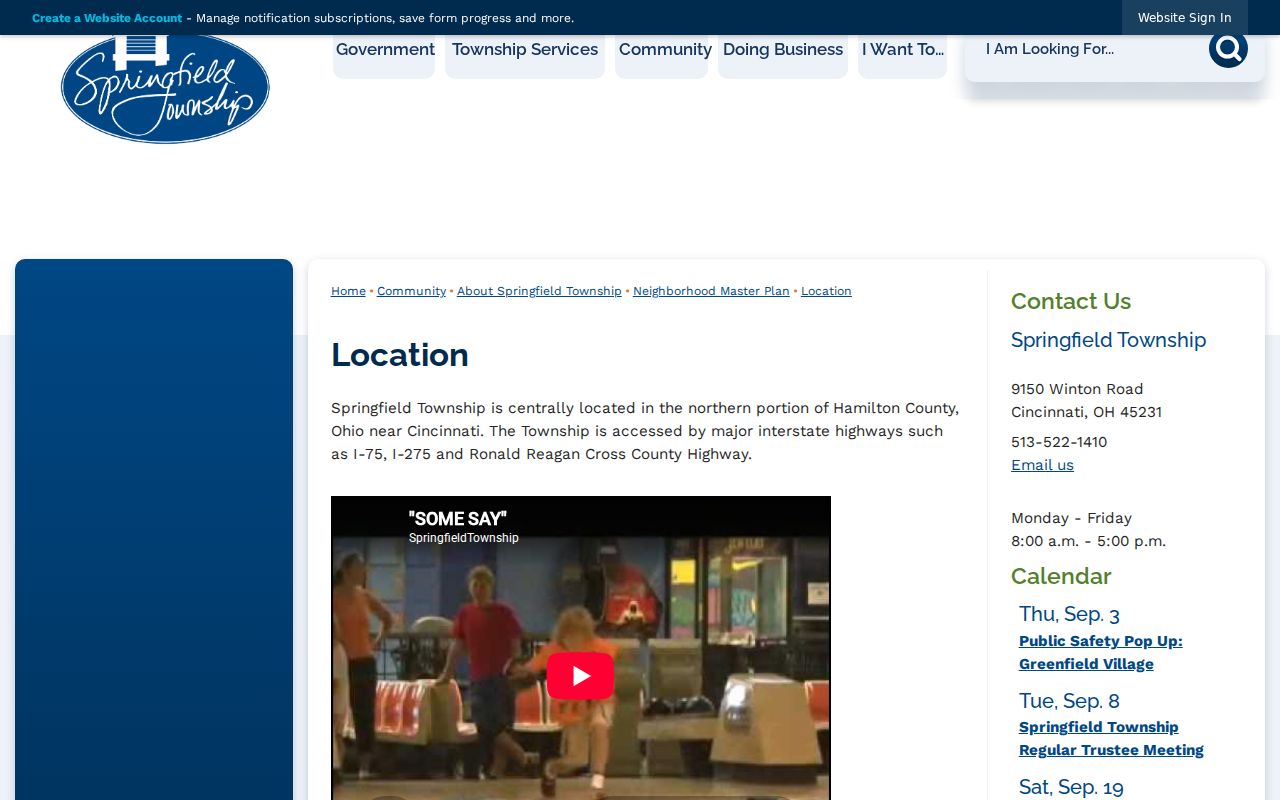
That context helps explain why ZIP coverage can cross municipal edges and why an address needs a parcel or official map check before its governmental jurisdiction is stated.
The Township also names neighborhoods and planning districts such as Finneytown, Pleasant Run Farms, Sevenhills, Hollydale, West College Hill, Valley, and Winton areas. Those district names, school districts, voter precincts, and ZIP codes are separate geography systems. None should be treated as a substitute for the others.
Verify Springfield Township ZIP Codes
Use the exact delivery address first. The research did not identify authoritative station names or detailed boundary descriptions for each of the seven ZIP codes, so a generic ZIP list cannot answer whether one house lies inside Township jurisdiction. The dependable sequence combines the postal result with a local map and parcel review. It also avoids treating the Township office’s own Cincinnati mailing address as a shortcut for every Township street.
- Enter the full delivery address in the official USPS ZIP lookup.
- Open the Township street, ZIP, neighborhood, or boundary maps to check Springfield Township context.
- Locate the address in the Auditor by exact house number and bare street name.
- Save the parcel ID and legal description, then use CAGIS for parcel-map context if needed.
- Use the Recorder’s legal-description route when a recorded-document question remains.
USPS ZIP Code Lookup is the source for the first step.
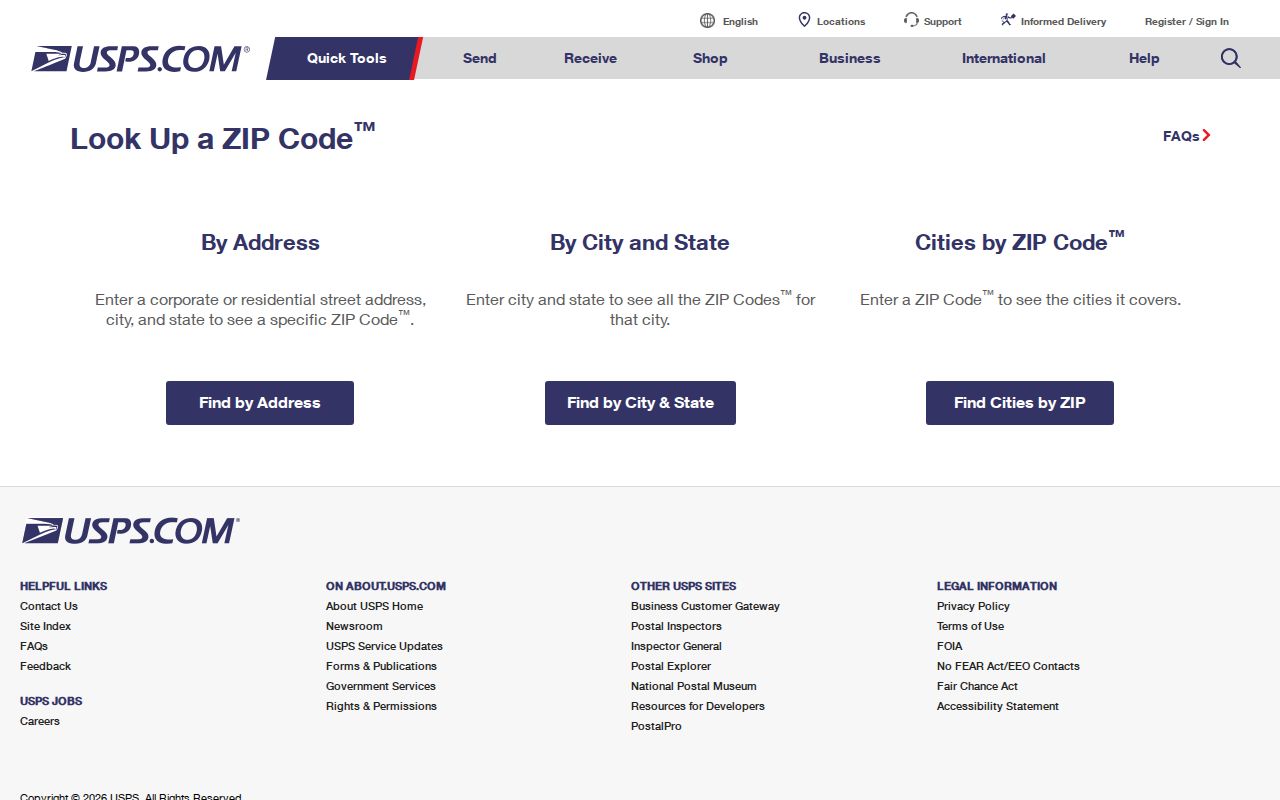
The USPS result verifies postal delivery information. It does not replace Township, county, parcel, or Recorder research for a jurisdiction or land-record question.
Map Springfield Township ZIP Code Context
The Township map hub offers street, neighborhood, ZIP, school-district, and interactive-zoning maps. It is the local-facing complement to county parcel mapping. Use it to see whether an address is being described by a neighborhood or postal label that differs from the Township name. CAGIS adds public parcel boundaries and map layers, while the Auditor supplies the documented property details tied to a parcel.
Springfield Township’s official overview identifies the Township as a patchwork community served by several geographic systems.
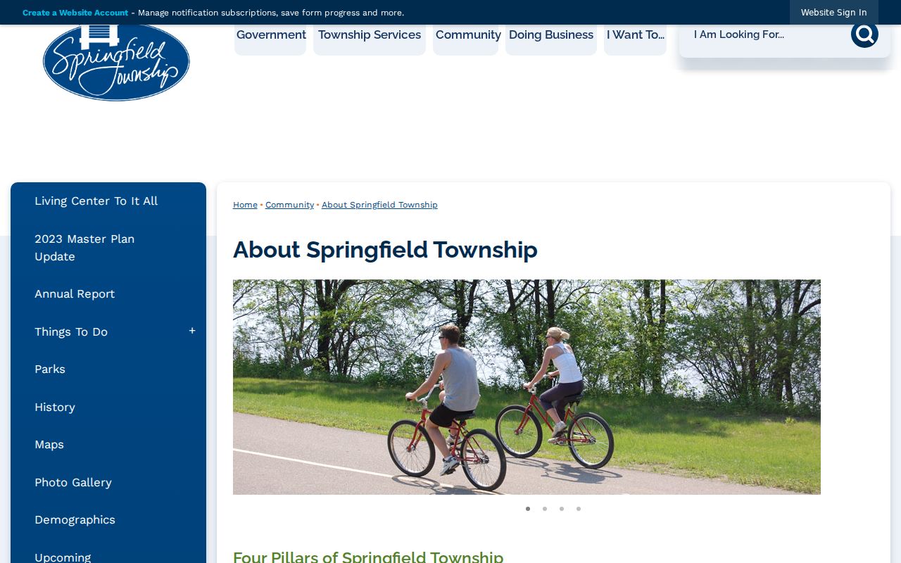
A ZIP map can orient a search, but a parcel, legal description, or official jurisdiction map must settle a boundary question.
Search Springfield Township by ZIP Code
No ZIP filter appears in the Hamilton County Auditor Property Search. It does not offer a ZIP-wide people or parcel roster. Instead, it supports owner, street address, parcel ID, sales, and advanced searches. Once a ZIP has narrowed the area, use the house number and bare street name to identify a parcel, then compare its situs address, owner mailing address, legal description, and recorded document trail. Each field describes a different part of the record.
The State Voter Search also has no ZIP field. It requires first name, last name, and county for an individual registration check. Hamilton County voter exports are organized by full file, district, or precinct. That comparison matters because a ZIP code is a postal zone, while a precinct is an election geography. Neither serves as a complete list of people at an address.
Once the postal area has been narrowed to a street, the Springfield Township street directory gives the address-focused property and record sequence.
Springfield Township ZIP Code Property Fields
The Auditor portal is the factual property tool to use after postal verification. Its address mechanics are exact: enter a house number in Exact or Low, leave High blank for one address, and add a street name without its suffix. A low and high number can return a range. Partial parcel numbers are accepted, and most local parcel IDs have 13 characters. Results are capped at the first 1,000, so a broad street search should be narrowed.
| Auditor field | Use after ZIP verification | Local format or limit |
|---|---|---|
| House Number Exact or Low | Find one address or start an address range | Combine with Street Name for a precise result |
| House Number High | Expand a low number into a street range | Use only when a range is needed |
| Street Name | Match the parcel’s street | Enter the bare name, without ST, DR, or CT |
| Parcel Number | Open a known property record | All or part may be entered |
| Origin Property Key and Feet from Origin | Find nearby property records around a known parcel | Documented parcel tool, not a resident list |
| Land Use, Appraisal Area, School District | Add property or geography limits | Displayed as advanced dropdown fields, not ZIP filters |
Hamilton County’s public parcel-layer description explains the boundary layer and directs property details back to the Auditor.
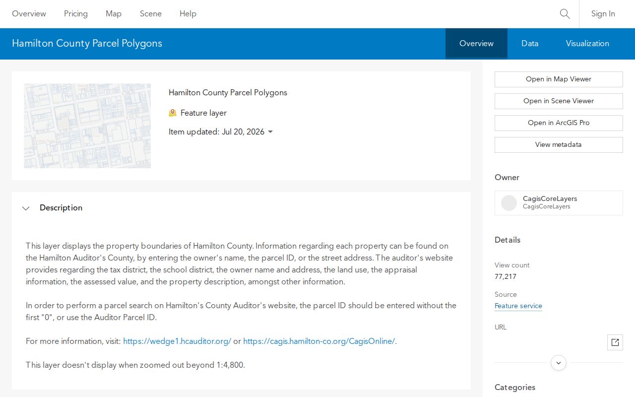
The map provides parcel context, including nearby boundaries, but the Auditor result and Recorder document remain the records used to identify an owner of record or land description.
Compare ZIP Code Search Tools
Only use a ZIP field where the official system actually offers one. Ohio DRC Offender Search accepts ZIP Code, but that field applies only to APA Supervision and Violators at Large results. DRC says it is a last recorded address and may be delayed, so it does not confirm a current address or create a general local directory. The Ohio Unclaimed Funds search also accepts city and ZIP as optional narrowing fields alongside name, business name, and property ID. Its result is a claim lead, not proof that a person lives in the area.
For property, the better route is address then parcel. For registration, use a name and Hamilton County. For an exact delivery ZIP, use USPS. This separation prevents a result from one system from being mistaken for a result in another system.
Springfield Township ZIP Code Address Keys
Postal and land-record terms look similar but do different jobs. Read the field label before using it to connect records. The Auditor and Recorder make the distinction especially important when a mailing label says Cincinnati but the parcel sits in unincorporated Springfield Township.
- ZIP and ZIP+4
- A ZIP identifies a postal delivery area. ZIP+4 adds delivery-segment detail to that postal code.
- PO-box ZIP
- A postal code used for a post-office-box delivery area, which is not a claim about a physical parcel location.
- Unique ZIP
- A postal code assigned to a particular organization or delivery arrangement. No such local assignment is claimed here.
- Carrier route
- A postal delivery grouping used for mail handling. It is not a Township boundary or a resident roster.
- Situs, mailing address, legal description
- Situs is the property location, mailing address is a correspondence field, and legal description identifies the land in the record system.
Historic Springfield Township ZIP Code Caution
Modern ZIP codes are not the starting key for an older address. Historic searches should begin with the period, place aliases, a street name, and available directory or map evidence. CHPL’s Criss-Cross and earlier Pink Pages organize addresses for historic occupant research, while city and county directories can use a locality or post-office name that differs from a modern postal label. Sanborn map coverage and old address numbering must be checked for the specific place.
Use the modern ZIP only as a present-day geographic check. A historical directory entry, census household, deed party, or probate record needs its own date and source role before it is connected to a current parcel.
Verify Springfield Township ZIP Code Boundaries
ZIP boundaries, Township lines, neighborhood districts, school districts, and voter precincts do not match. This is particularly visible in a Township that uses seven overlapping ZIP codes and a Cincinnati mailing label for its office. A postal result can be fully correct while still being insufficient to decide which local government, court, or property record custodian applies. The exact address, parcel, and official map must travel together when the question turns on jurisdiction.
Boundary check. A Springfield Township ZIP code indicates postal coverage only. Verify the full address with USPS, the Township map hub, and the Auditor parcel record before relying on a jurisdiction label.
For a records request, direct a narrow request to the actual custodian. Ohio Public Records Act access does not turn a postal label into a county or Township record classification, and it does not make restricted information public.