
Walk a Springfield Township Street
For a current address question, start with the Hamilton County Auditor Property Search. It links a street number to a parcel and the deeded owner recorded for that parcel. That is a property record, not a complete list of people at the address. The next useful handoff is the Recorder, where the parcel number or legal description connects the property to recorded instruments. A street directory workflow then turns to historical directories only when the question is about a past occupant, and uses voter tools only to confirm one named person.
- Check the Township street map and the Auditor’s Street Listings for the exact spelling and the Township jurisdiction.
- Search one number first. Save the parcel ID, situs address, owner field, mailing field, legal description, transfer information, and school or tax context shown on the parcel card.
- For a segment, enter low and high numbers with the bare street name. Reduce the range when the result set is large.
- Send the parcel to Acclaim Public Document Inquiry with its Auditor number, or use its legal-description choices when the address is uncertain.
- For an earlier period, use the Recorder’s historic grantor/grantee PDFs and book/page path, then compare published address listings in Pink Pages or Criss-Cross volumes.
- Use the state voter search only after a full name is known. It confirms an individual registration and precinct, not everyone on the street.
That order avoids a common mistake: treating one address match as proof of a whole household. It also preserves the identifiers needed to repeat the search later.
Springfield Township Street Directory Fields
The Auditor’s address mode is the most direct street directory tool for parcels in Springfield Township. The interface treats an exact number, a number range, an owner name, and a parcel number as separate paths. Enter a street name without a suffix such as ST or DR. A low number with a high number can return a range, while a bare name and one number are better for a single parcel. The results cap at 1,000, so a long road should be divided into smaller spans.
| Auditor field | Use by address | Local format note |
|---|---|---|
| House # Exact/Low | One parcel or the start of a range | Leave the high field blank for one address. |
| House # High | End of a street segment | Use with the low number and bare street name. |
| Street Name | Street spelling and range search | Omit the suffix; Street Listings helps with spelling. |
| Owner/Organization/Other Name | Property held by a named owner | Last-first format and partial entries are accepted. |
| Parcel Number | Open a known parcel | Most local numbers have 13 characters; partial matching is allowed. |
| Origin Property Key / Feet from Origin | Nearby parcel set | Advanced search uses a known origin property key and distance. |
The owner field must match the deed or legal transfer name, so a nickname may not return a result. For older ownership, open Transfer and then See Ownership Card rather than assuming every displayed transfer date is the original event date.
Springfield Township Street Transfer Dates
Transfer history adds a useful date layer to a street directory search, but the date must be read with the record type. The Auditor’s Transfer view connects the parcel to sales and ownership information. For older changes, See Ownership Card can provide names and more reliable historical dates. A transfer date displayed as January 1 is a known filler date in this local workflow, not a finding that the transaction occurred on that day.
Compare the transfer detail with the Recorder instrument, its recording date, document type, legal description, and book/page or document number. A sale can be processed later than the transaction, and a parcel can have several instruments with different roles. Preserve both the Auditor number and the Recorder citation. That small comparison keeps a street-by-street sequence from joining the wrong owner, date, or parcel.
Springfield Township Street Records
Several records are keyed to the same address, but their roles differ. The Auditor supplies the property starting point. The Recorder supplies documents and transaction parties. Township files can add a narrow zoning or code record when a precise request identifies the address, dates, and project. County offices and library collections fill different parts of the trail, so the most useful request names the record type rather than asking for every document attached to an address.
| Address record | What it can establish | Keeper and access |
|---|---|---|
| Parcel card | Deeded owner, mailing address, situs, parcel, legal description, transfer and property context | Auditor online or at the county office |
| Recorded instrument | Grantor, grantee, document date, book/page or document number, and image | Recorder Acclaim; historic PDFs, office research, or FamilySearch for earlier work |
| Parcel map context | Boundaries, adjoining parcels, and enabled map layers | CAGIS Online and Township map resources |
| Tax mailing record | Tax-bill contact and tax history | Treasurer or Auditor counter, phone, or mail channel |
| Property court file | Address or parcel-linked civil matter, lien, or foreclosure path | Clerk of Courts search, counter, or record-request fallback |
| Zoning or maintenance file | Address-specific Township record where maintained | Targeted Township public-records request |
Note: A mailing address belongs to the record owner or tax contact and can legitimately be different from the property location.
Deeds Along Springfield Township Streets
The Recorder’s parcel route makes a street directory search much stronger when an address has changed form or a subdivision has several similarly named streets. Acclaim’s current computerized database begins May 31, 1988. Its parcel screen accepts the Auditor number and offers date range, document type, and Registered Land Only choices. A recorded deed identifies transaction parties and the land described in the instrument. It does not establish where a party lived after the transaction.
Start from the Auditor transfer history, then search the current acquisition. The grantee is the buyer or recipient; the grantor is the seller or sender. To move backward, search the prior seller as a grantee and keep matching the legal description or parcel, not merely the surname. Before the computerized period, use historic grantor/grantee PDFs to recover a book/page, then retrieve the scan through Book/Page. The Recorder directs deeper research to its office and the Hamilton County FamilySearch collection.
See the Recorder parcel-number search before entering the parcel handoff.
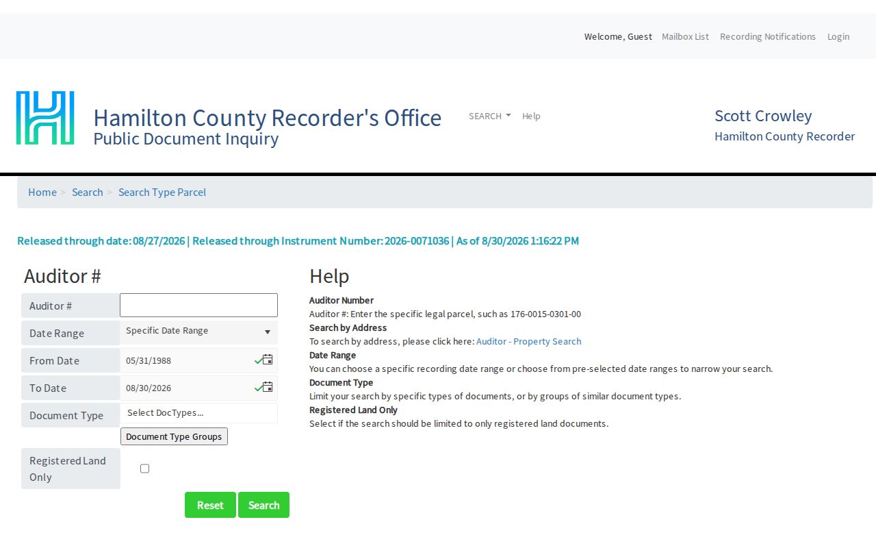
The parcel-number view is useful after an Auditor result supplies the property identifier, while the historic book/page route remains necessary for earlier instruments.
Springfield Township Address Terms
Property records use several labels for the same land. Reading those labels correctly prevents a street directory result from being overstated, especially when correspondence is sent elsewhere or an older record uses a subdivision reference.
- Parcel
- A county property identifier that links the parcel card, transfer details, and related Recorder search.
- Situs address
- The physical property location shown on the parcel record, distinct from a correspondence address.
- Plat
- A recorded map or plan that can identify subdivision lots and the book/page reference tied to land.
- Criss-Cross directory
- An address-ordered historical directory, called Pink Pages from 1925 and Criss-Cross by 1941.
A legal description may use a lot, block, subdivision, section, town, and range rather than the everyday street form. When the address is ambiguous, Acclaim’s Subdivision/Lot or Section/Town/Range search can be more reliable than a name match.
Springfield Township Street Map Context
Use the Township map hub for street, neighborhood, ZIP, school-district, zoning, and interactive-zoning context. CAGIS is the regional parcel and map-layer viewer, but the researched material does not document every live control in its interface. It is best used to orient a boundary or parcel, then paired with the Auditor or Recorder for named property details. A map is context, not a legal survey and not an occupant record.
The Township and County Roads page also distinguishes Township-maintained roads, county roads, and private drives. That distinction can explain why a road, drainage, or construction item is held by another custodian.
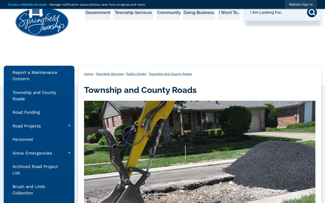
The road information helps confirm the proper office for a location issue without claiming that road maintenance identifies a current household.
Springfield Township Address Files
There is no researched public historical permit index that can be searched by Township address. For a zoning, property-maintenance, police, fire, or project file, use the Township’s published records path with the street number, date range, incident or project detail, and record type. The policy accepts oral or written requests at the Administrative Offices, by phone, fax, or the online/PDF form. A requester may use the form, but its general identity fields are voluntary.
Township zoning code and certificate information states that a Township zoning permit normally precedes a Hamilton County building permit. Ask for the identified file, not a broad all-address request. County building or inspection material may be the next channel when the work fell under county jurisdiction.
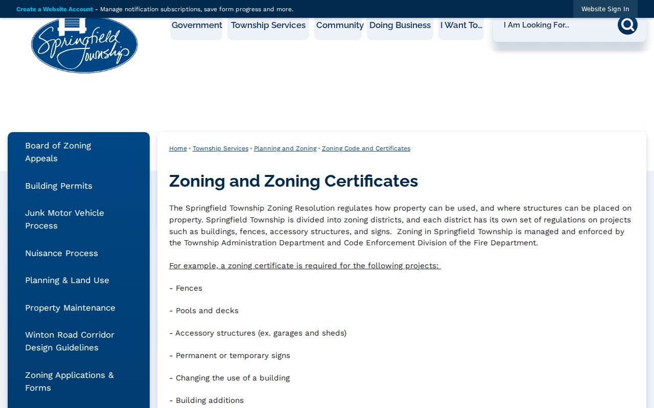
The zoning source establishes the local-first permit sequence; it does not create an online historical directory of every address file.
Note: Ohio Public Records Act requests work best when they identify a custodian, address, date span, and the particular record sought.
Springfield Township Street Voters
The Ohio voter search requires first name, last name, and county, with Hamilton County selected for a Township registration. It confirms a matching registration, precinct, and polling-place information. It is not an address-only street browser. The state page can ask for a street-name choice to narrow a name search, but the starting requirement remains an individual’s name and county.
The comparison matters. Hamilton County’s voter-list service offers CSV/PDF products and countywide history by export, district, or precinct, while the state service confirms one person. For a geography check, the Board points users to CAGIS voting-district layers, and the Township map hub is a simpler street and neighborhood fallback. The Board’s counter, phone channel, and public-record request path remain options for a properly scoped question.
Protected voter information is excluded, and a precinct list is not a complete street roster. That limitation is a useful safeguard when comparing official tools with any broad, unsourced address list.
Springfield Township Historic Street Directory
For an earlier occupant, the local address-first source is Pink Pages, which began in 1925 and became Criss-Cross by 1941. Look up the street alphabetically, then read the numbers in order. The historical volumes are dated evidence, not current contact information. The Springfield Township Directory Book has the full collection route and year coverage.
Hamilton County digitized runs include 1887, 1889, 1891, 1893, 1897, 1899, 1901, 1905, 1907/08, 1909/10, 1911/12, and 1939/40; a 1915 run is held but not online. A historic locality may appear as New Burlington, Woodlawn, Glendale, Mount Healthy, or a rural route. Match the directory heading to map and parcel context before deciding that a missing Springfield Township label means the address is absent.
Springfield Township Street Limits
A street directory can identify a parcel’s deeded owner, an instrument party, a historical directory listing, or a named voter match. Those are different roles. An owner mailing field may be off-site, and a situs address is the parcel location. Ohio BMV address data and utility or delivery customer lists do not become public street rosters. Sealed, expunged, juvenile, and Safe at Home information are not opened by an address search.
Lawful personal research. Use Springfield Township address records for legitimate personal, civic, property, or family-history questions. Do not use a record trail to stalk, harass, intimidate, or harm another person.